
Information portal
Ostfriedhof Munich
Ostfriedhof Munich combines a historic major cemetery, a dense tree canopy, distinctive architecture and a crematorium that remains in use.
At a glance
- Area
- 25.9 ha
- Burial plots
- 34,000
- Opened
- 1900
Visitor information
Prepare your visit
Quick access to the published information for planning a visit.
Address and directions
Visitor address, location and directions.
Learn moreOpening hours
Access hours for the cemetery.
Learn moreCemetery map
Maps and guidance for finding your way around the cemetery grounds.
Learn moreAdministration
Contact details and information about the responsible administration.
Learn morePlan a visit and understand the cemetery
Ostfriedhof lies between Sankt-Martins-Platz, Tegernseer Landstraße and Sankt-Martin-Straße. Its 25.9 hectares contain 34,000 burial plots. Hans Grässel’s sequence of funeral hall, forum, main avenues and cascades is set within a dense, mature tree canopy.
Use this portal to check seasonal opening hours, the precise address and directions, and the official PDF and detailed interactive cemetery map. The map shows ten access points, three public-transport locations, the administration, funeral and urn halls, information points, toilets and water points.
The history traces the site from the early nineteenth-century Auer burial grounds through its 1900 opening and post-war reconstruction. A five-stop cemetery tour links architecture and places of remembrance. The notable graves page presents three carefully documented profiles with real grave photographs and specific grave references.
Discover the cemetery
History and places
Explore the cemetery’s history, selected places and points of orientation.
Photographic impressions
Ostfriedhof München in pictures
Selected photographs offer a visual impression of Ostfriedhof München.
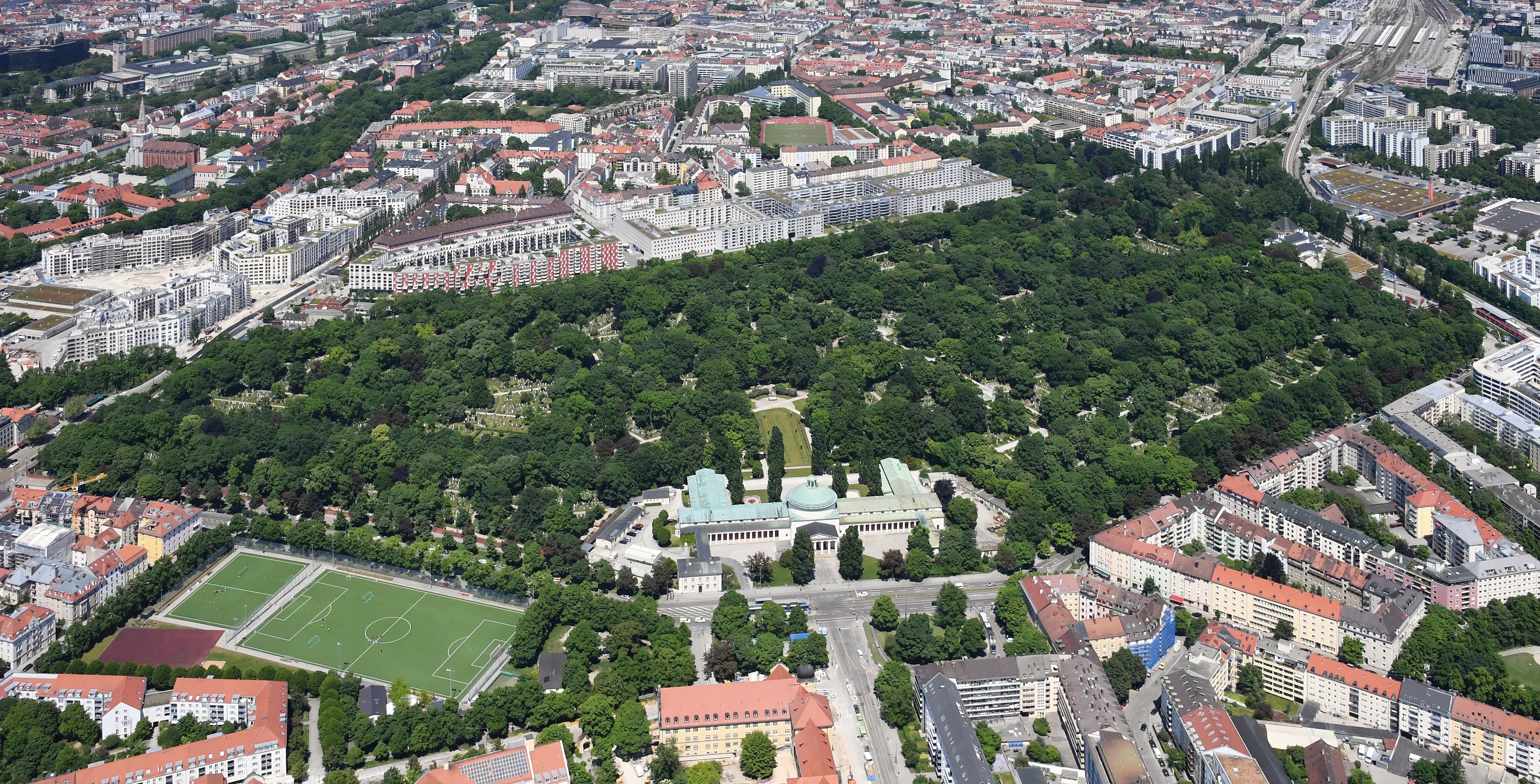
Ostfriedhof seen from the south
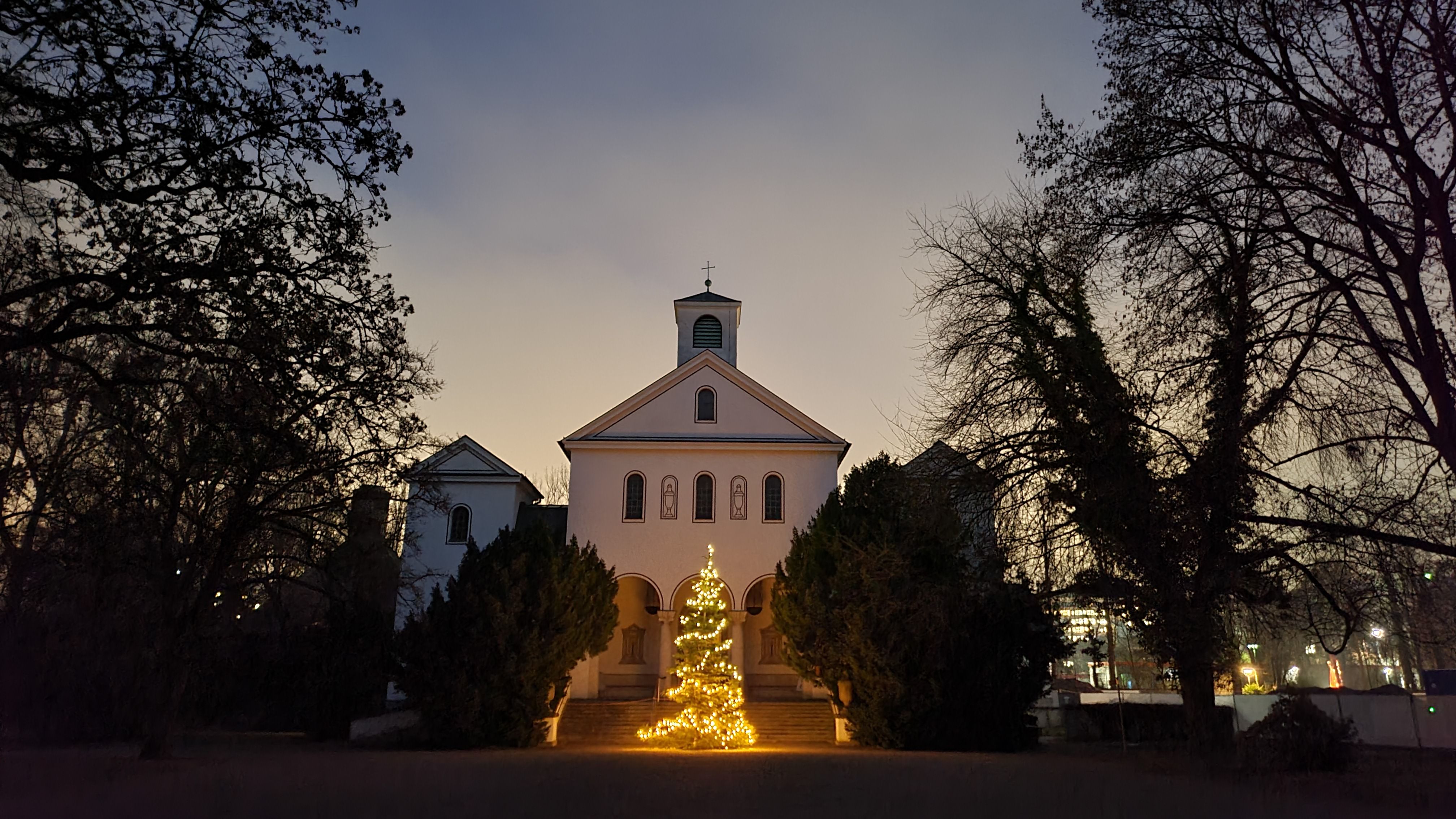
Funeral hall at dusk
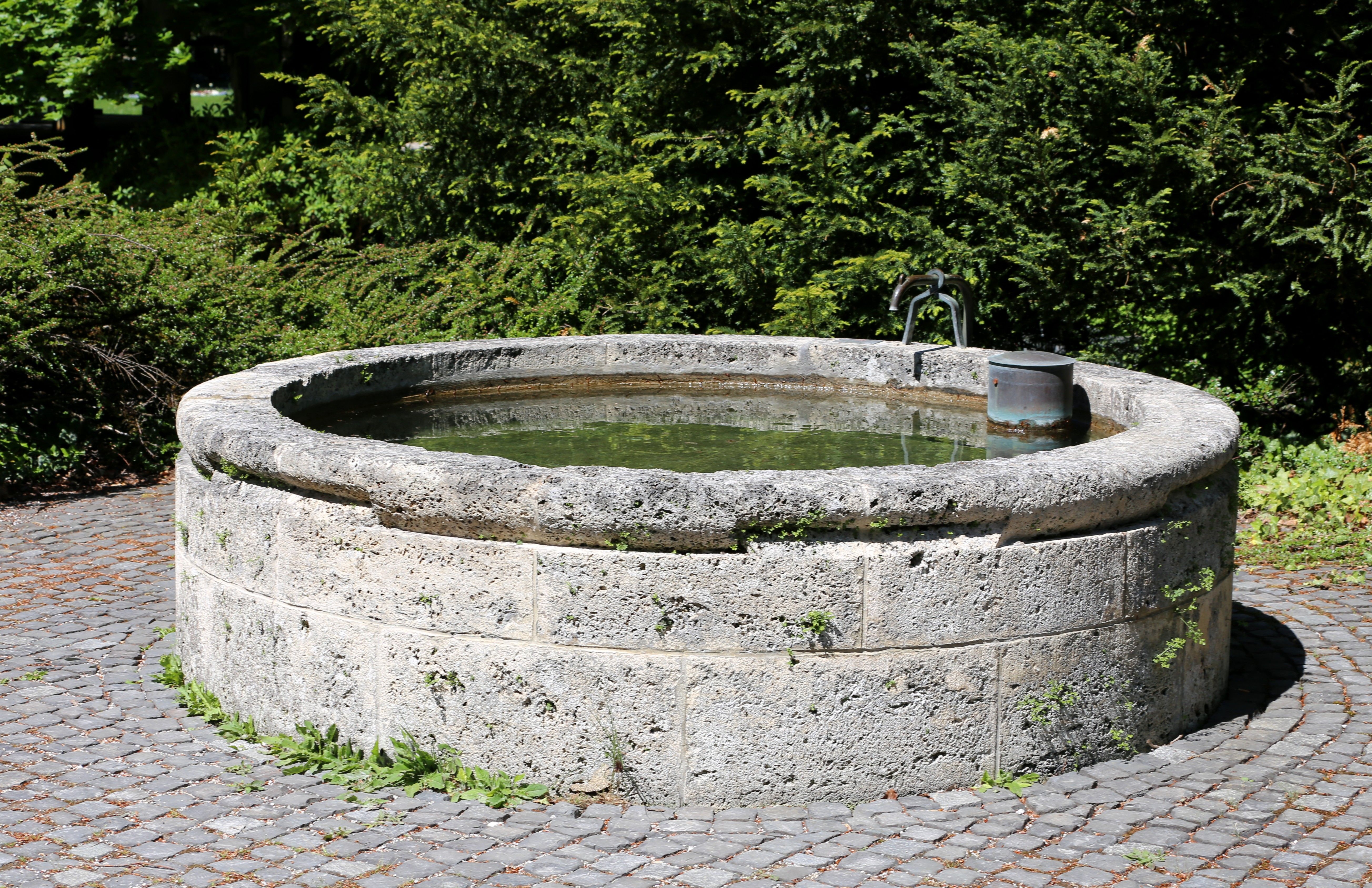
Fountain within the cascade complex
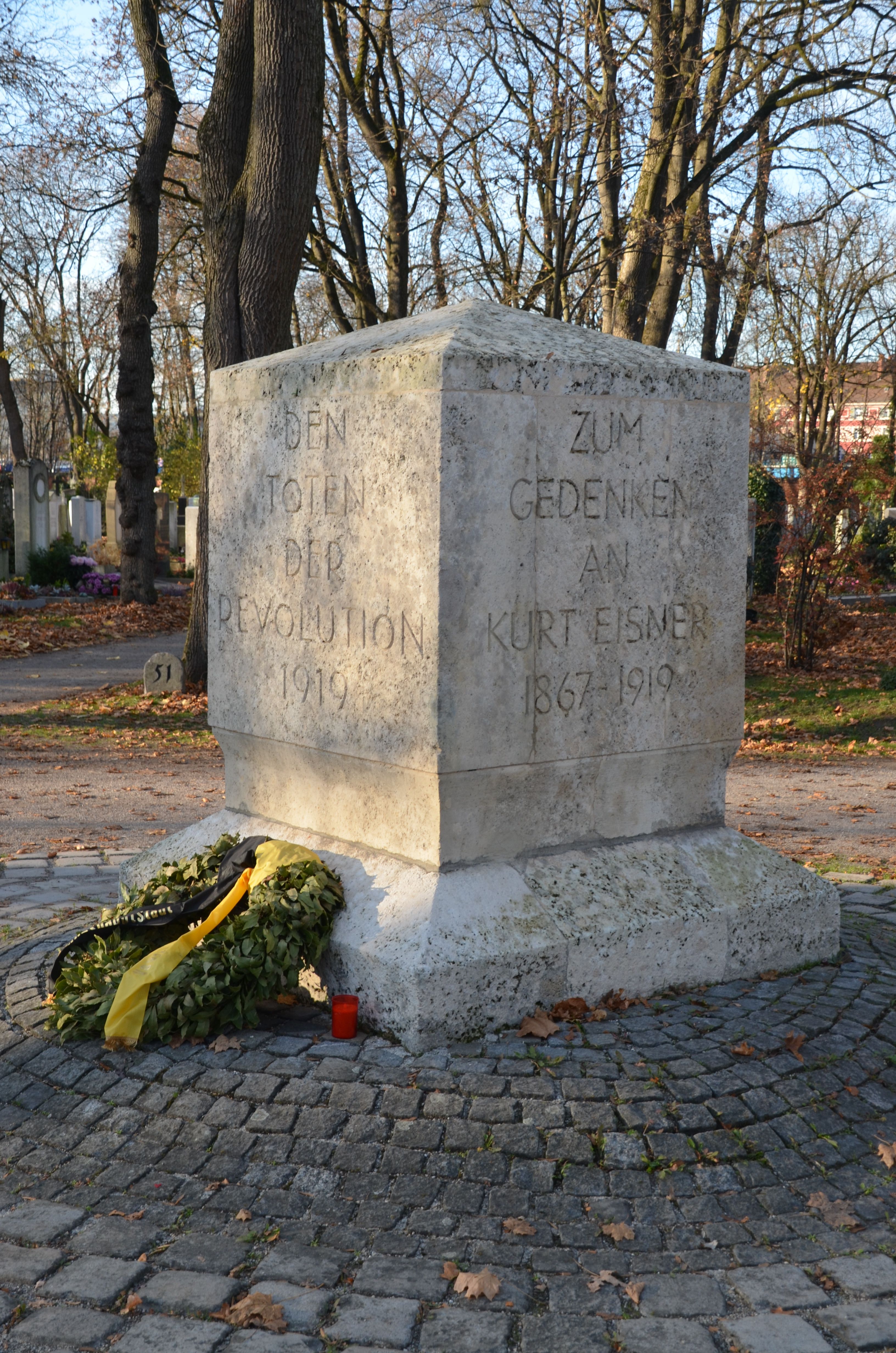
Memorial to the dead of the 1919 revolution
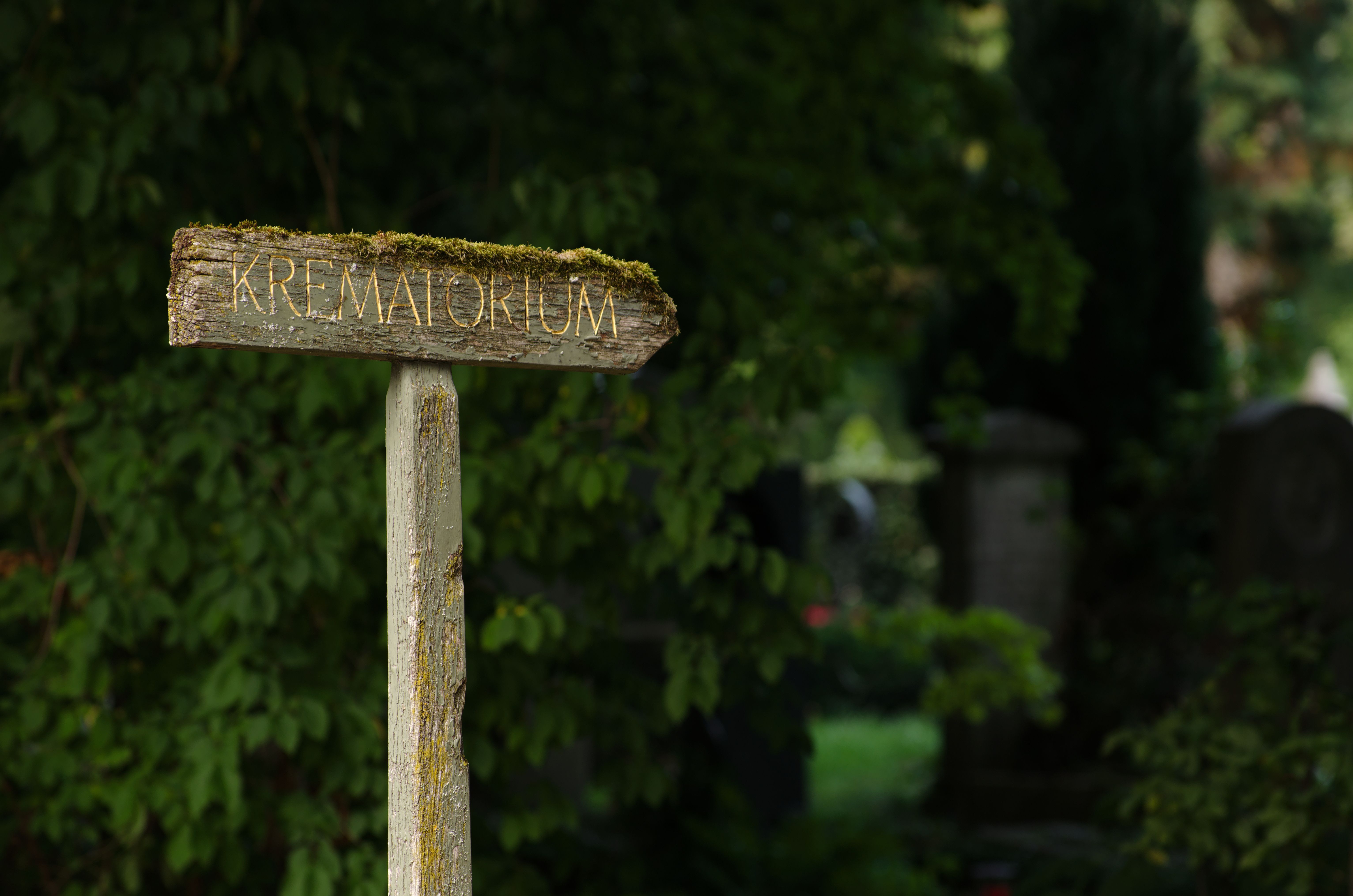
Sign to the municipal crematorium
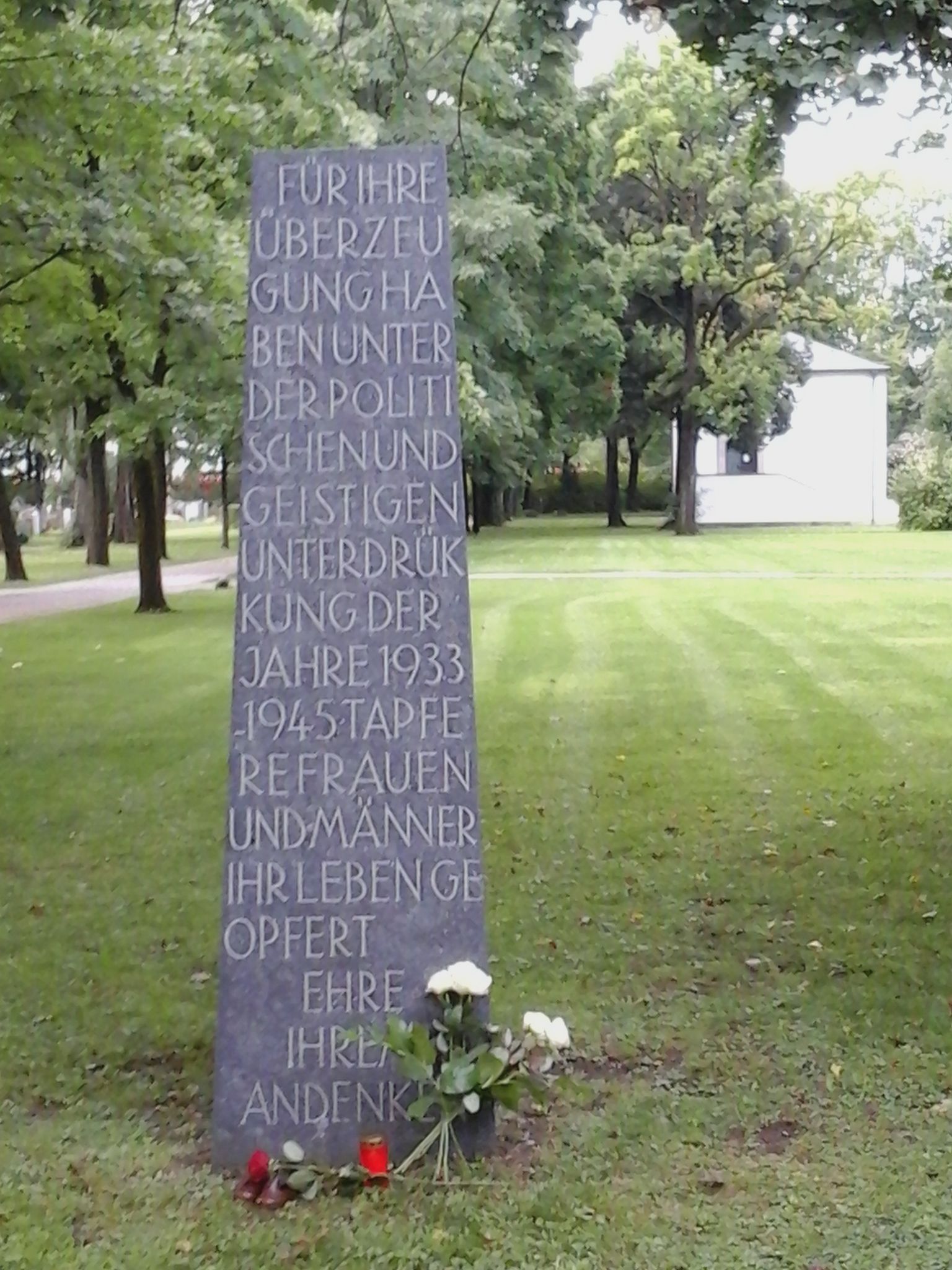
Memorial stele on the Field of the Nameless
Further information
About graves
Direct access to the published information about graves.
Frequently asked questions
What is the address of Ostfriedhof Munich?
The visitor address is Sankt-Martins-Platz 1, 81541 München. It leads to the historic entrance area on Sankt-Martins-Platz.
When is Ostfriedhof open?
See opening hours for the full schedule.
Is there an official cemetery map?
Yes. The cemetery map page links the official one-page PDF of burial sections and paths and adds an interactive map with 56 points of orientation.
Which public-transport stops serve Ostfriedhof?
Ostfriedhof stop is on Tegernseer Landstraße, while the Sankt-Martins-Platz tram stop serves the southern entrance area. Sankt-Martin-Straße S-Bahn station lies to the east. Check current timetables before travelling.
Where can I park at Ostfriedhof?
Two paid surface spaces for disabled visitors are mapped on Tegernseer Landstraße. This portal does not promise current availability or identify any further spaces as cemetery-only parking.
How many entrances are shown on the map?
The interactive map shows ten gate positions without a mapped access restriction. The historic main entrance is on Sankt-Martins-Platz, with another important access point on Tegernseer Landstraße.
How large is Ostfriedhof?
The cemetery covers 25.9 hectares and has 34,000 burial plots. Allow enough time to move between its western and eastern sections.
What visitor assistance is listed?
The official cemetery page lists transport for senior citizens and loan wheelchairs. Ask the cemetery administration about availability and conditions before your visit.
Can a small ceremony be held in the farewell room?
The separate farewell room may be used instead of the main funeral hall for groups of up to 30 people. Ask the administration about dates, arrangements and charges.
How do I find a particular grave?
First obtain the complete grave reference. The PDF shows burial sections but has no name search. The grave search page explains the next steps.
What is Ostfriedhof’s main architectural feature?
The large funeral-hall dome has a diameter of 20 metres. The hall, forum, main avenues and cascades form a coherent complex shaped by Hans Grässel.